How wildfire crews find water, and why the level decides everything.
Helicopters and air tankers spend a surprising share of every shift just getting to water. This is a plain-English look at how aerial firefighting refills — buckets, snorkels, and scoopers — what a dip site and a draft site are, why depth (not surface area) decides whether a source is usable, and how those sources get mapped. The short version: water on a map only helps if it's actually there.
Aerial firefighting runs on water, and on getting to it
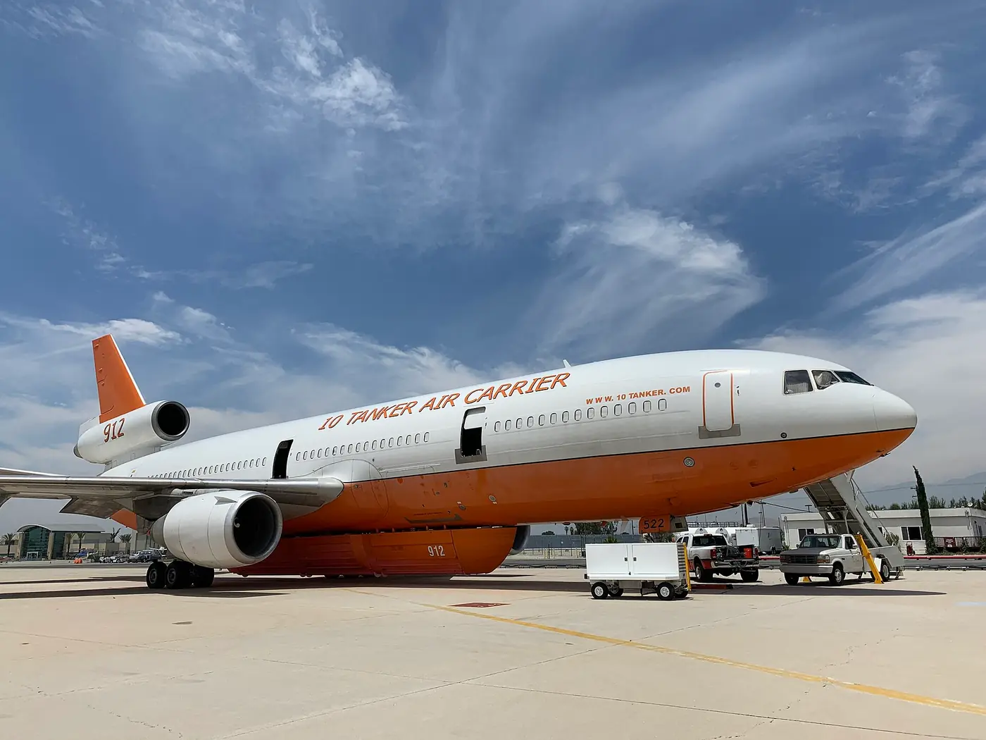
Water and retardant dropped from the air don’t usually put a wildfire out on their own. They slow it, cool it, and check its spread so crews on the ground can work. To do that, aircraft have to keep coming back full — and that means a steady supply of water close enough to the fire to be worth the trip.
That last part, ferry time — the round trip between the water and the fire — is the quiet limit on the whole operation. A helicopter with a nearby pond can cycle far more loads per hour than one flying minutes each way to a distant lake, often over terrain with few good options if something goes wrong. So a lot of aerial firefighting comes down to a simple question asked over and over: where’s the closest water that actually works right now?
The three ways aircraft pick up water
Helicopter buckets. The familiar image — a collapsible bucket slung under a helicopter on a long line, dipped into open water and released over the fire. A Bambi bucket is the common type, sized roughly from 100 gallons on a light ship to 400-plus on a heavy one. The bucket needs open water deep enough to submerge and fill cleanly.
Snorkels and tanked helicopters. Instead of a slung bucket, some helicopters and larger helitankers carry a fixed tank filled by a snorkel — a hose lowered into the water that pumps the tank full while the aircraft hovers. Same requirement: enough depth of clear water to draw from.
Fixed-wing scoopers. Amphibious air tankers — CL-415 “Super Scoopers” and smaller Fire Boss aircraft — don’t hover. They skim along a stretch of open water and scoop a load in a single pass, then drop and come back. Scooping needs a longer run of water at sufficient depth, so lakes, reservoirs, and large ponds are typical.
The common thread: all three need a minimum depth of usable water. Land-based air tankers are the exception — they reload retardant at an airtanker base, not from a pond — but for everything that refills in the field, depth is the gatekeeper.
Dip sites, draft sites, and how they’re mapped
Firefighting has standard names for these sources, set by the National Wildfire Coordinating Group (NWCG), the interagency body (Forest Service, BLM, BIA, NPS, FWS, and state foresters) that standardizes wildland-fire practice.
- A dip site is open water a helicopter dips a bucket or snorkel into.
- A draft site is water a ground pump or engine drafts from — often a pond fitted with a dry hydrant.
On an incident, these are plotted as points on the Operations and Air Operations maps, right alongside helispots, helibases, and drop points. Specific roles manage them: the Air Tactical Group Supervisor (ATGS) and Helicopter Coordinator (HLCO) run the air picture, helicopter and helitack managers handle aircraft and crews, and a Dipsite Manager — a formal NWCG position — watches activity at a dipsite and keeps communications with pilots and command. The governing standards are NWCG PMS 510 (helicopter operations, including ground-based tank systems for dipping and filling) and PMS 518 (water-scooping operations).
Increasingly, sources are also mapped before a fire. Colorado statute (§37-82-107, C.R.S.) directs the state to identify, designate, and preserve critical fire-suppression ponds readily accessible to fire districts, and an Oregon NRCS drought-and-wildfire watering strategy asks landowners to allow fire-management access and add their water site to Oregon Department of Forestry fire-management maps.
Why “on the map” isn’t the same as “ready”
Here’s the gap that ties all of this together. A source can be designated, mapped, and well known — and still be useless on the day, because it’s drawn down below usable depth. Drought, a long operational period, irrigation draw, or a slow leak can quietly take a pond from plenty to too-shallow. From 500 feet up, a wide shallow pond and a deep one look the same. Crews can lose real time discovering, at the hover or on the skim, that a mapped source can’t deliver.
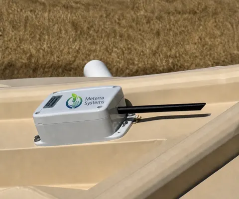
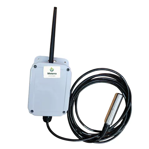
That’s the difference between water on a map and water you can use — and it’s exactly where continuous, remote level monitoring earns its place. A sensor that reports a source’s actual depth, with an alert when it drops below what a bucket or scooper needs, turns a mapped point into a known quantity for the people planning around it. It doesn’t fly the aircraft or replace the assessment on scene; it just answers, ahead of time, the question crews would otherwise answer the hard way.
Where to go from here
If you’re responsible for water sources used in fire response, the practical step is knowing which ones actually hold water before anyone is dispatched:
- Wildfire Water-Source Monitoring — the overview of how remote level, volume, location, and status work across ponds, dams, reservoirs, and dip tanks.
- Helicopter Dip Site Monitoring — confirming usable depth at dip ponds and dip tanks for air operations.
- Fire Pond Monitoring — keeping a designated fire or suppression pond ready, for landowners and districts.
A closing note on scope: monitoring supports water-source planning and situational awareness. It does not replace on-scene reconnaissance, the Dipsite Manager, or a pilot’s own assessment of a water source — it just makes the level a known number instead of a guess.
The hardware this guide covers
Every device reports to the same Meterra dashboard and app.
Tell us what you need to keep an eye on and we'll map the right sensors and coverage.
Frequently asked questions
What is a dip site versus a draft site?
Both are water sources used in firefighting, named by how water is taken. A dip site is open water a helicopter dips a bucket or snorkel into. A draft site is water a ground pump or engine drafts from, often through a dry hydrant. Both are standard NWCG terms and appear as mapped points on incident Operations and Air Operations maps, alongside helispots, helibases, and drop points.
How do helicopters and air tankers actually pick up water?
Three main ways. Helicopters carry a Bambi bucket — a collapsible bucket slung underneath, commonly 100 to 400-plus gallons — dipped into open water, or a snorkel that pumps water into an onboard tank on tanked helicopters and helitankers. Fixed-wing scoopers, such as amphibious CL-415s and Fire Boss aircraft, skim along open water and fill in a single pass. Large land-based air tankers, by contrast, reload retardant at an airtanker base rather than from a pond.
Why does the water level matter so much?
Because depth, not how big the water looks from the air, decides whether a source can be used. A bucket, a snorkel, or a scooper each needs a minimum depth of clear water, and a pond drawn down by drought can look full and still be too shallow to dip or skim safely. Shallow or dropping water is a known operational and safety problem, which is why knowing the actual level in advance is so valuable.
What is ferry time, and why is it the key number?
Ferry time is the round trip between the water source and the fire. It's the main limit on how much water an aircraft delivers per hour — every minute spent transiting to and from water is a minute not spent on the fire, often over rough country. A closer, reliable source means more drops per hour, so confirming which nearby sources actually hold water has a direct effect on productivity.
Who manages water sources on a fire?
On the air side, roles like the Air Tactical Group Supervisor (ATGS) and Helicopter Coordinator (HLCO) manage aircraft, and a Dipsite Manager — a formal NWCG position — monitors activity at a dipsite and keeps communications with pilots and incident command. Helicopter and helitack managers handle the aircraft and crews. NWCG standards PMS 510 (helicopter operations) and PMS 518 (water-scooping operations) cover how these sources are used.
How do these water sources get on a map in the first place?
During an incident they're plotted on Operations and Air Operations maps as dip or draft sites. Ahead of time, states and agencies increasingly designate and map sources — Colorado statute (section 37-82-107, C.R.S.) directs the state to identify and preserve critical fire-suppression ponds, and an Oregon NRCS strategy asks landowners to add water sites to Oregon Department of Forestry fire-management maps. A mapped source is only useful, though, if it still holds water — which is the gap continuous level monitoring fills.
Related Meterra pages
- Dam Level Monitor: the sensor that confirms usable depth at a dip site.
- Wildfire Water-Source Monitoring: how remote level, volume, and status keep a source a known quantity.
- Helicopter Dip Site Monitoring: confirming usable depth at dip ponds and dip tanks.
- Fire Pond Monitoring: keeping a designated fire or suppression pond ready.