
Is the dip site deep enough today?
A dip site only counts if a bucket or snorkel can actually take water from it. Meterra monitors the level at helicopter dip ponds and dip tanks and reports usable depth, estimated volume, and a ready/low/dry status to a dashboard that dispatch and air operations can share — so a designated source is a known quantity going into the operational period, not a surprise found at the hover.
Depth decides whether a dip site is real
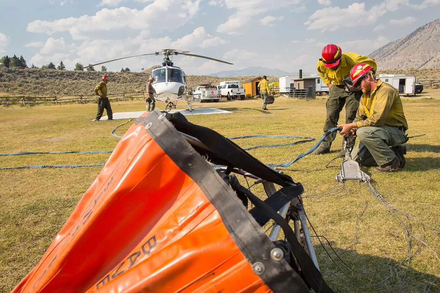
A dip site is a place a helicopter can put a Bambi bucket or a snorkel into water and pull a load. What makes it usable is depth — enough water, clear of obstructions, to fill the bucket without bottoming out. Surface area lies: a wide, shallow pond can look full from 500 feet and be too thin to dip. Drought and steady draw-down through a long operational period make this worse exactly when it matters most.
That’s an operational and a safety problem. Plans are built around designated dip sites mapped as points on the incident’s Operations and Air Operations maps, alongside helispots, helibases, and drop points. If one of those points is dry or marginal, the cost is ferry time spent flying to a source that can’t deliver — or a crew discovering it at the hover.
A continuous reading between visits
Meterra puts a sensor on the dip site and reports its level on a schedule and on alarm, so the mapped point carries a current number instead of a stale one.
- Usable-depth status. Set the depth a bucket or snorkel needs and each site reads ready, low, or dry against it — the one fact air operations needs first.
- Estimated volume and trend. Level, percentage, and estimated volume where dimensions are known, plus the draw-down trend across the operational period.
- Low-depth alerts. A designated source crossing below usable depth raises an alert by app and supported channels, so it’s caught in planning rather than in the air.
- Mapped location. Each dip site has known coordinates and is grouped in the dashboard; level and location stay together and export to CSV.
- Shared visibility. Dispatch, air operations, a helicopter or helitack manager, and the landowner see the same sources without sharing a login.
Open dip pond or steel dip tank
Meterra reads both, and you choose by the source:
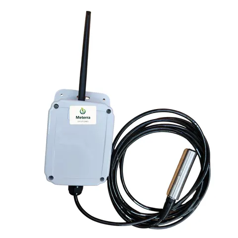
- Open-water dip ponds use a submerged pressure (hydrostatic) sensor that reads the depth above it and keeps reading under ice — useful for high-elevation and cold-country sites. This is the Dam Level Monitor approach, covered under Pond & Dam Monitoring.
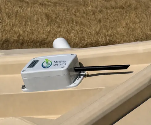
- Steel or converted-container dip tanks and cisterns use a non-contact ultrasonic Tank Level Sensor mounted above the water, so nothing sits inside the tank.
Built for back-country sites
No power, no Wi-Fi, no hub. Sensors run on battery or solar and install in minutes with basic tools. Connectivity is Verizon’s NB-IoT low-power cellular network for most sites, with LEO satellite available where a dip site has no cellular coverage at all — confirmed per location before install, never assumed everywhere. That “works where there’s no cell signal” story is a genuine strength for remote dip ponds.
Where it fits, and where it doesn’t
Meterra supports water-source planning and situational awareness. It does not replace on-scene reconnaissance, the Dipsite Manager, or a pilot’s own assessment of a water source. Under NWCG helicopter (PMS 510) and water-scooping (PMS 518) operations standards, the on-scene call governs; Meterra simply keeps the remote number current in between.
Getting started
Pick the dip site you most need to trust — the one farthest out, or the one you suspect is drawing down — and we’ll confirm coverage and set a pilot on it. Tell us the source and location and we’ll map the right sensor. And many fire agencies fund readiness gear through grants — see Grants & Funding.
The hardware for this job
Every device reports to the same Meterra dashboard and app.
Tell us your site and we'll map the right sensors and coverage.
Frequently asked questions
Why monitor a dip site's water level at all?
Because depth, not surface area, decides whether a bucket or snorkel can be filled — and a site that looked fine last week can be drawn down or shallowed by drought. A dip site or draft site is a standard mapped point on incident Operations and Air Operations maps; remote monitoring keeps that point honest by reporting the current level and alerting when it drops below the depth you've set as usable, so planning is based on water that's actually there.
Where does this fit with NWCG roles and standards?
It's a planning and situational-awareness input, not a replacement for anyone. Under NWCG helicopter operations standards (PMS 510) and water-scooping operations (PMS 518), water sources are assessed and managed on scene, and a Dipsite Manager monitors activity at a dipsite and keeps communications with pilots and incident command. Meterra gives those people and the planners behind them a continuous remote reading between visits; the on-scene assessment still governs.
Does the level show up in the cockpit?
No. Meterra is not avionics. Depth, volume, location, and status appear on a web and mobile dashboard and in exportable data that dispatch and air operations can fold into the mapping and situational-awareness tools they already use. It does not replace on-scene reconnaissance or a pilot's own assessment of a source.
Open dip pond or steel dip tank — which sensor?
For an open-water dip pond, a submerged pressure (hydrostatic) sensor reads the depth above it and keeps reading under ice. For a steel or converted-container dip tank or cistern, a non-contact ultrasonic sensor mounts above the water so nothing sits inside. Both report the same level, volume, and alerts; we match the sensor to the site.
Will it report from a dip site with no power or cell coverage?
That's what it's built for. Sensors are battery or solar powered and install in minutes with no wiring or hub. Primary connectivity is Verizon's NB-IoT low-power cellular network, used for most sites; for dip sites with no cellular coverage, low-earth-orbit (LEO) satellite is the alternative. Coverage is confirmed for the specific location before install — not assumed everywhere.
Can dispatch, air ops, and the helibase all see it?
Yes. Multi-user access lets dispatch, air operations, a helicopter or helitack manager, and a landowner each see the relevant sources from one dashboard without sharing a login, and any site's history exports to CSV for after-action records and maps.
What does it cost?
In our US rollout, sensors start at $299 for the Tank Level Sensor and $499 for the Dam Level Monitor, each including three months of connectivity and full app access; connectivity is then from $10/month per device, with discounts on annual subscriptions. Tell us the dip sites and the coverage there and we'll size the setup. Every sensor is backed by a 60-day money-back guarantee and a one-year warranty.
Related Meterra solutions
- Wildfire Water-Source Monitoring: the full picture of ponds, dams, reservoirs, and dip tanks for fire readiness.
- Fire Districts & Wildfire Agencies: many dip sites across remote ground, in one exportable dashboard.
- Dam Level Monitor: the submerged pressure sensor for open-water dip ponds.
- Tank Level Sensor: the non-contact ultrasonic sensor for steel and container dip tanks.
- Pond & Dam Monitoring: how remote level sensing works on open water.
- How Wildfire Crews Find Water for Aircraft: how dip sites are chosen and why their level matters.
- Fire-Season Water Readiness Checklist: what to check on ponds, tanks, and hydrants before the season starts.