
Remote water-source monitoring for fire districts and wildfire agencies.
The water sources a response depends on are spread across remote ground — ponds, dams, reservoirs, and dip tanks nobody can check often. Meterra puts a wireless sensor on each one and reports the level, estimated volume, location, and a ready/low/dry status to a single dashboard, with exportable records for planning, maps, and after-action — so a district or agency knows which sources are actually ready before crews are dispatched.
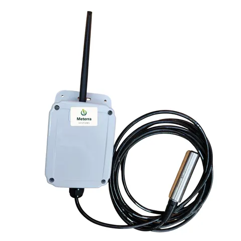
Sources spread across ground you can’t check often
The hardest part of relying on remote water isn’t finding it — it’s knowing, on any given day, which sources are still usable. A fire protection district may have a dozen designated ponds and dry hydrants across rural parcels. A forest unit’s plan leans on dip and draft sites scattered through the back country. A timber operator can run a dense network of dip ponds; one Idaho operator is reported to maintain more than 275 ponds to keep the bulk of its timberland within a mile of water. Checking all of that by truck and overflight is slow, and the picture is stale the moment it’s taken.
Remote monitoring turns that scattered ground into a single, current view. A wireless sensor on each source reports its level on a schedule and on alarm, so the whole portfolio is visible from one screen and field time goes where the data says it’s needed — not on confirming that sources are fine.
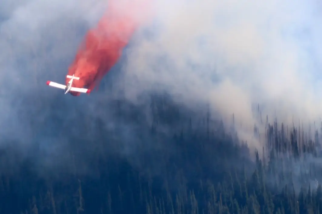
Who uses it
The same platform serves the range of organizations responsible for firefighting water:
- Fire protection districts and counties tracking designated suppression ponds, dry-hydrant ponds, and draft sites across rural service areas.
- State forestry and wildfire agencies planning around dip and draft sites and wanting current readiness on the sources crews are sent to.
- Timber and forestry operators maintaining large dip-pond networks across working timberland.
- Water districts and municipalities that build dedicated helicopter dip tanks — for example, a Southern California water district built a roughly 4,000-gallon auto-refilling dip tank on the Palos Verdes Peninsula — and want to confirm they’re full.
What Meterra watches
- Fire and suppression ponds, dams, reservoirs, and dry-hydrant ponds — a submerged pressure sensor reads the depth above it and keeps reading under ice, for open-water sources in cold and high country.
- Helicopter dip tanks, container tanks, and cisterns — a non-contact ultrasonic sensor mounts above the water so nothing sits inside the tank.
- Mixed portfolios — both sensor types report into the same dashboard, so a district with ponds and tanks watches everything in one place.
- Rural fire water supply — dry-hydrant ponds, cisterns, and draft sites, watched for the readiness that NFPA 1142 and ISO reward.
Built for remote sites
The reason these sources go unwatched is that there’s no power and no internet at a back-country dip pond or an outlying reservoir. Meterra needs neither. Sensors run on battery or solar, install in minutes with basic tools — no trenching, wiring, electrician, or hub — and report over Verizon’s NB-IoT low-power cellular network. Where there’s no cellular coverage at all, LEO satellite is the alternative; we check coverage at the specific site before you commit, and never claim it everywhere.
Data you can act on, and report
Agencies run on records as much as readings. Meterra keeps every reading, charts the trend, raises alarms on the thresholds you set, and exports any sensor’s history to CSV — ready for a pre-season readiness review, an incident or air-operations map, an after-action record, or a grant deliverable. Because each source carries known coordinates, level and location export together — ready for the mapping and situational-awareness tools your teams use (more on where your data lives below).
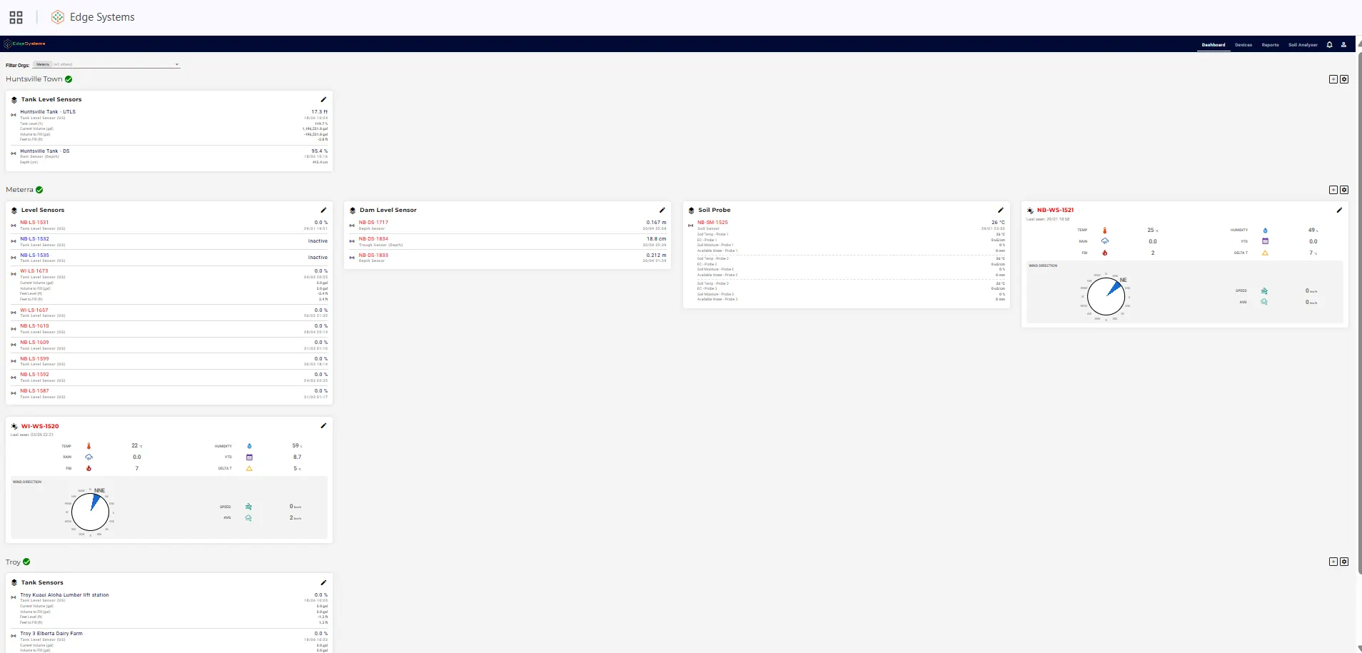
Where your data lives
Your readings are held on Meterra’s own protected servers, and the data is yours. Every source’s history exports to CSV today, with known coordinates on each point. Deeper integration into the GIS and situational-awareness systems an agency already runs — a KML/GeoJSON feed or an API into your mapping stack — is something our team provisions per deployment rather than a switch flipped by default. Tell us what your people use and we’ll scope it honestly.
Beyond water level: fire weather, on the same dashboard
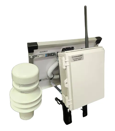
Water level is the start, not the whole picture. The same Meterra ecosystem runs an industrial wireless weather station that reports temperature and humidity, wind speed and direction, rainfall and season-to-date totals, a fire-behaviour / fire-danger index, and Delta-T — all into the same app, beside your water sources. For a district or unit, that’s hyperlocal fire-weather awareness next to supply readiness, on one login. Soil-moisture, rainfall, and flow sensors run on the same platform when you want them. (It supports situational awareness; it is not a certified RAWS or a replacement for official fire-weather products.)
Funding and procurement
Most agencies don’t buy readiness gear out of pocket — they fund it. Remote-monitoring equipment is commonly eligible under programs like these (confirm allowable costs and eligibility with each program before you count on it):
- FEMA Assistance to Firefighters Grant (AFG) — equipment and resources for fire departments and districts.
- USDA Forest Service Volunteer Fire Assistance (VFA) — routed through your state forestry agency to rural departments (communities under 10,000).
- Community Wildfire Defense Grant (CWDG) — wildfire risk reduction for at-risk communities.
- FEMA hazard-mitigation programs (BRIC, HMGP) — for flood and resilience work, via state emergency management.
- State and conservation programs — many western states fund water and drought resilience directly. In Utah, for example, the state’s water-funding portal and its Agricultural Water Optimization Program back water-efficiency work, and USDA NRCS EQIP / WaterSMART cost-shares on-farm water projects.
We’re not a grant administrator and can’t promise an award — but the per-point pricing, the documentation the system produces, and a pilot you can show make Meterra straightforward to write into an application. We’ll provide a capability summary and per-site pricing for your packet. See our full Grants & Funding page for the complete list of programs and links.
A note on what this is and isn’t
Meterra supports water-source planning and situational awareness. It does not replace on-scene reconnaissance, the Dipsite Manager, or a pilot’s own assessment of a water source. It’s offered as readiness and monitoring capability — vendor-neutral and retrofit to any existing source — not as a command system or a guarantee about any incident.
Getting started
Start with the sources that matter most and are hardest to check — the designated ponds, the back-country dip sites, the tanks you can’t easily get to. The same hardware and platform are already in the field through related operations outside the United States; Meterra has not yet deployed with a US fire agency, so we’re actively looking for early agency and district partners and can stand up a pilot quickly once there’s interest. Tell us your locations and the coverage there, and we’ll send a capability summary and per-site pricing and map a pilot across one or two sites before you scale. Request a capability brief or a pilot for your district →
The hardware for this job
Every device reports to the same Meterra dashboard and app.
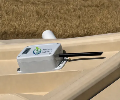
Tell us about your operation and we'll map the right sensors and coverage.
Frequently asked questions
What can a fire district or agency monitor with Meterra?
The water sources a response leans on — fire and suppression ponds, stock dams and reservoirs, dry-hydrant ponds, and helicopter dip tanks. Each source gets a sensor that reports level, estimated volume, and a ready/low/dry status to one dashboard, with alerts when a designated source drops below usable depth. Sites stay legible across a whole district from one screen instead of a route of physical checks.
Is this avionics or a dispatch system we have to integrate?
No. Meterra is not avionics and isn't a command system. It's a vendor-neutral data layer — level, volume, location, and status on a web and mobile dashboard, with CSV export and data that can feed the mapping and situational-awareness tools you already use. It supports planning and situational awareness; it does not replace on-scene reconnaissance, the Dipsite Manager, or a pilot's own assessment of a source.
Who uses it?
Fire protection districts and counties tracking designated suppression sources; state forestry and wildfire agencies planning around dip and draft sites; timber and forestry operators who maintain large dip-pond networks; and water districts and municipalities that build dedicated dip tanks. Anyone responsible for water sources spread across ground they can't easily reach.
How does this support designating and mapping water sources?
It proves a designated source is ready and keeps a record. The policy direction supports it — for example, Colorado statute (section 37-82-107, C.R.S.) directs the state to identify, designate, and preserve critical fire-suppression ponds readily accessible to fire districts, and an Oregon NRCS watering strategy asks landowners to add water sites to Oregon Department of Forestry fire-management maps. Mapping a source doesn't keep it full; continuous monitoring shows it actually holds water and exports the history for the record.
Will it work where there's no power and no cell coverage?
Usually. Sensors are battery or solar powered and install in minutes with no wiring or hub. Primary connectivity is Verizon's NB-IoT low-power cellular network, used for the large majority of sites; for sources with no cellular coverage, low-earth-orbit (LEO) satellite is the alternative. Coverage is confirmed per site before install — never assumed everywhere.
Can multiple staff and partner agencies have access?
Yes. Multi-user access lets district staff, agency partners, dispatch, air operations, and cooperating landowners each see the sources relevant to them without sharing a login. Every sensor's history exports to CSV for records, grants, and incident maps.
What does it cost, and can we pilot it?
In our US rollout, sensors start at $299 for the Tank Level Sensor and $499 for the Dam Level Monitor (the Trough Level Monitor is $399), each including three months of connectivity and full app access; connectivity is then from $10/month per device, with discounts on annual subscriptions. Costs scale with the number of sources — tell us yours, and we can start with a pilot on one or two locations. Every sensor is backed by a 60-day money-back guarantee and a one-year warranty.
Related Meterra pages
- Dam Level Monitor: usable depth at ponds, dip sites, and open sources.
- Tank Level Sensor: cisterns and storage tanks across the district.
- Weather Station: on-site fire-danger rating from your own ground.
- Wildfire Water-Source Monitoring: the overview of how readiness monitoring works across every source type.
- Helicopter Dip Site Monitoring: usable depth and volume for dip ponds and dip tanks.
- Fire Pond Monitoring: keeping designated fire and suppression ponds ready.
- Fire Water Supply Monitoring: dry hydrants, cisterns, and draft sites, for NFPA 1142 and ISO readiness.
- Flood & Low-Water-Crossing Monitoring: early-warning level alerts for crossings, culverts, and creeks.
- Water Districts: storage monitoring for rural and municipal water systems.
- Conservation: pond, wetland, and groundwater monitoring across many sites.
- Water Level Monitoring: how remote, non-contact level sensing works across all water.
- How Wildfire Crews Find Water for Aircraft: how dip sites are chosen and why their level matters.
- NFPA 1142 Rural Fire Water Supply: what the standard asks of rural water sources.