
Know which water sources are ready before the helicopters need them.
A pond, dam, reservoir, or dip tank is only useful to aircraft if it actually holds enough water to dip. Meterra puts a wireless sensor on the remote sources fire crews depend on and reports the live level, estimated volume, GPS location, and an at-a-glance available / low / dry status to a web and mobile dashboard — so agencies, dispatch, air operations, and the landowners who own those sources can plan with real numbers instead of a guess from the last drive-by.
The water is only an asset if it’s actually there
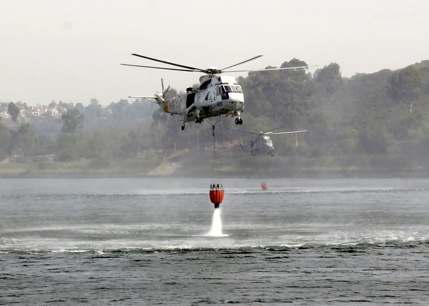
Aerial firefighting lives and dies on water. Helicopters refill at dip sites — lakes, reservoirs, ponds, or purpose-built dip tanks deep enough for a Bambi bucket or a snorkel — and fixed-wing scoopers skim open water. The single biggest limit on how much water gets to a fire is ferry time: the round trip between the water and the fire. A closer, reliable source means more drops per hour and less time spent transiting over rough country.
The catch is that a source can look full from the air and still be unusable. Drought, draw-down, and a hard season pull levels below what a bucket or a scoop needs, and a shallow or dropping source is a known operational and safety problem. The gap isn’t finding water on a map — it’s knowing, today, whether the water that’s mapped is still deep enough to use.
What Meterra watches
Meterra puts the right sensor on the source and reports its level remotely, so a site that used to need a drive or an overflight reports itself.
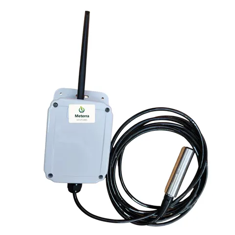
- Ponds, dams, reservoirs, dugouts, and catchment basins — a submerged pressure (hydrostatic) sensor sits below the surface and reads the depth of water above it. Because it reads from underneath, it keeps working under ice, which matters for high-elevation and cold western sources. See Pond & Dam Monitoring and the Dam Level Monitor.
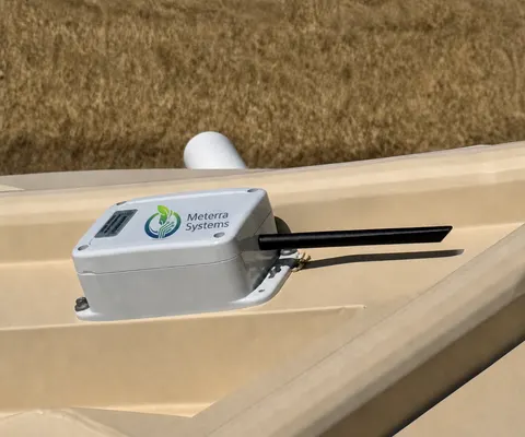
- Dip tanks, converted-container tanks, and cisterns — a non-contact ultrasonic sensor mounts above the water and measures the distance down to the surface, so nothing sits in the tank to foul or freeze. See the Tank Level Sensor.
Either way you get the same readings, alarms, and dashboard; the difference is whether the sensor reads from in the water or above it. We help you match it to each source.
What you get
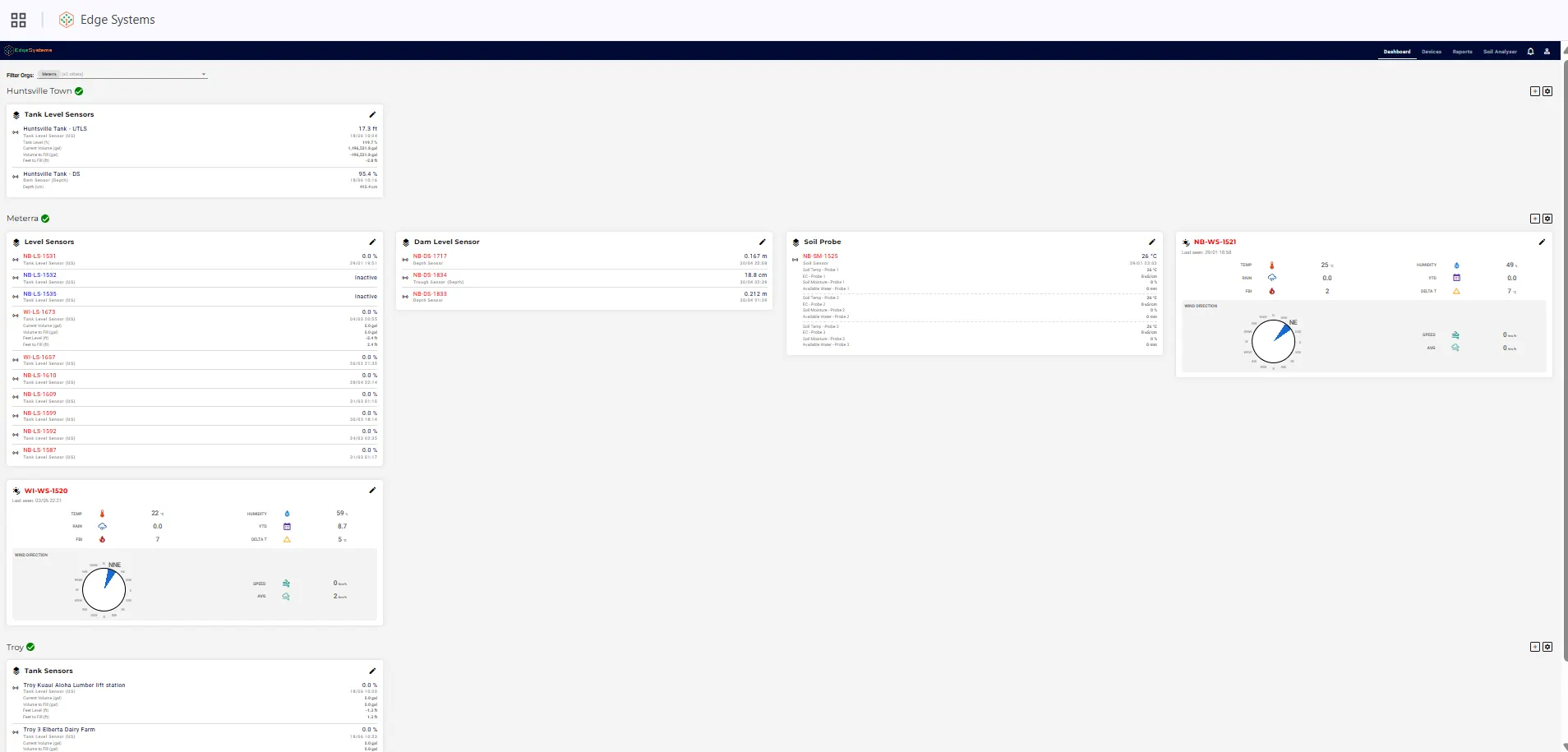
- Live level and estimated volume. Per-source water level and percentage, plus an estimated volume when the storage dimensions are known — the number that tells you whether a site is worth the ferry.
- An at-a-glance status. Each source reads as available, low, or dry against the thresholds you set, so a whole portfolio of sites is legible at a glance.
- GPS location, mapped. Every monitored source has known site coordinates and is mapped and grouped in the dashboard; level and location travel together and can be shared or exported.
- Alerts that reach you. Configurable low, high, and rapid-change alerts via app and supported channels — so a designated source crossing below usable depth pages you instead of surprising a crew.
- Multi-user access. Owners, district staff, dispatch, air operations, and advisors each see the sources relevant to them without sharing a login.
- Exportable, shareable data. Any sensor’s full history exports to CSV, and the live data can be fed into the mapping and situational-awareness tools your teams already use.
How the data gets used: planning first, operations second
Most of the value is before an incident. In pre-season planning, a continuous record shows which dip sites and fire ponds actually hold water and how fast each one draws down, so designated sources can be ranked, fixed, or retired on facts rather than memory.
During an incident, the same readings give dispatch and air operations a current picture of which nearby sources are usable, shareable to the people coordinating refills. To be clear about what this is: the level, volume, location, and status live on a web and mobile dashboard and in exportable data — not on a cockpit instrument or a certified flight display. Meterra is the data layer that makes a pond or tank a known quantity; the people and tools already in the system decide how to use it.
Built for sources nobody can easily reach
The reason these sites go unmonitored is simple: there’s no power and no internet at a back-country dip pond or an outlying reservoir. Meterra needs neither. Sensors run on battery or solar, install in minutes with basic tools — no trenching, wiring, electrician, Wi-Fi, or hub — and report on their own. Primary connectivity is Verizon’s NB-IoT low-power cellular network, which carries the large majority of Meterra sites; for genuinely off-grid sources with no cellular coverage, low-earth-orbit (LEO) satellite is the alternative. Coverage is confirmed for the specific site before install — there’s no claim of coverage everywhere, and we can check a location before you commit.
More than water level: weather, soil, and flow on one screen
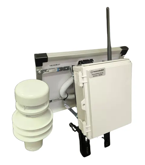
Water level is the start. The same Meterra platform runs an industrial wireless weather station that reports temperature and humidity, wind speed and direction, rainfall and season-to-date totals, a fire-behaviour / fire-danger index, and Delta-T — plus soil-moisture and flow sensors — all into the same app and the same map as your water sources. One login, one view: how much water a source holds, and the conditions around it. (Weather is for hyperlocal situational awareness; it is not a certified RAWS or a replacement for official fire-weather products.)
A note on what this is and isn’t
Meterra supports water-source planning and situational awareness. It does not replace on-scene reconnaissance, the Dipsite Manager, or a pilot’s own assessment of a water source. It is offered as readiness and monitoring capability — vendor-neutral, retrofit to any existing source — not as a guarantee about any particular incident.
Getting started
Start with the source that’s hardest to reach or most important to keep ready — the back-country dip pond, the reservoir that draws down fast, the designated tank you can’t easily check. Tell us where it is and what the coverage looks like, and we’ll map the right sensor and a pilot on one site. Many agencies and landowners help pay for this through grants — see Grants & Funding for programs that can fit.
The hardware for this job
Every device reports to the same Meterra dashboard and app.
Tell us your site and we'll map the right sensors and coverage.
Frequently asked questions
What is wildfire water-source monitoring?
It is continuous, remote measurement of the water level in the ponds, dams, reservoirs, and dip tanks that helicopters and air tankers draw from. A wireless sensor at each source reports the level, estimated volume, and a usable/low/dry status to a dashboard, with alerts when a designated source drops below a depth you set — so the question "does that site still have water?" has an answer before anyone is dispatched, not after a crew arrives.
Does the data show up on aircraft instruments or in the cockpit?
No. Meterra is not avionics and makes no cockpit or flight-display claims. The level, volume, GPS location, and status appear on a web and mobile dashboard that can be shared with dispatch and air operations and exported to CSV, so the information can be folded into the mapping and situational-awareness tools those teams already use on the ground. It supports planning and situational awareness; it does not replace on-scene reconnaissance or a pilot's own assessment of a source.
Which sensor goes on which kind of source?
Open water — ponds, dams, reservoirs, dugouts, and catchment basins — uses a submerged pressure (hydrostatic) sensor that reads the depth of water above it and keeps reading under ice, which matters for high-elevation and cold western sources. Steel or converted-container dip tanks and cisterns use a non-contact ultrasonic sensor mounted above the water, so nothing sits in the tank. We match the sensor to the site.
Will it work at a back-country source with no power and no cell signal?
Usually, yes — that is the point. Sensors are battery or solar powered and install in minutes with no trenching, wiring, Wi-Fi, or hub. Primary connectivity is Verizon's NB-IoT low-power cellular network, which Meterra uses for the large majority of sites; for very remote sources with no cellular coverage, low-earth-orbit (LEO) satellite is the alternative. Coverage is confirmed for each specific site before install — we do not claim coverage everywhere.
Can several agencies and the landowner all see the same source?
Yes. Multi-user access lets a landowner, a fire district, dispatch, air operations, and advisors each see the sources relevant to them from one dashboard, without sharing a login. Every source has known coordinates and is mapped and grouped in the dashboard, and any sensor's history exports to CSV for records and maps.
How much does it cost, and can we trial it?
In our US rollout, sensors start at $299 for the Tank Level Sensor and $499 for the Dam Level Monitor (the Trough Level Monitor is $399), each including three months of connectivity and full app access; connectivity is then from $10/month per device, with discounts on annual subscriptions. Costs scale with the number of sources — tell us your sites and the coverage there and we'll size it. Every sensor is backed by a 60-day money-back guarantee and a one-year warranty.
Related Meterra solutions
- Dam Level Monitor: usable depth in ponds and open sources, year-round.
- Tank Level Sensor: cisterns and storage tanks that feed suppression.
- Weather Station: on-site fire-danger rating next to the water readings.
- Helicopter Dip Site Monitoring: confirm usable depth at dip ponds and dip tanks for air operations.
- Fire Pond Monitoring: keep a designated fire or suppression pond ready, for landowners and districts.
- Fire Water Supply Monitoring: dry hydrants, cisterns, and draft sites for NFPA 1142 and ISO readiness.
- Fire Districts & Wildfire Agencies: many sources across remote ground, in one exportable dashboard.
- Guide — How Wildfire Crews Find Water: dip sites, draft sites, scoopers, and why the level decides everything.
- NFPA 1142 Rural Fire Water Supply: what the standard asks of rural water sources.